New highway map targets tourism
Advertisement
Read this article for free:
or
Already have an account? Log in here »
We need your support!
Local journalism needs your support!
As we navigate through unprecedented times, our journalists are working harder than ever to bring you the latest local updates to keep you safe and informed.
Now, more than ever, we need your support.
Starting at $15.99 plus taxes every four weeks you can access your Brandon Sun online and full access to all content as it appears on our website.
Subscribe Nowor call circulation directly at (204) 727-0527.
Your pledge helps to ensure we provide the news that matters most to your community!
To continue reading, please subscribe:
Add Brandon Sun access to your Free Press subscription for only an additional
$1 for the first 4 weeks*
*Your next subscription payment will increase by $1.00 and you will be charged $20.00 plus GST for four weeks. After four weeks, your payment will increase to $24.00 plus GST every four weeks.
Read unlimited articles for free today:
or
Already have an account? Log in here »
Hey there, time traveller!
This article was published 15/06/2010 (5654 days ago), so information in it may no longer be current.
Manitoba’s provincial highway map has been improved to provide more information about unique places to visit in the province, Infrastructure and Transportation Minister Steve Ashton announced today.
"The new map is aimed at encouraging more tourists and Manitobans to explore our highways and roads and to discover more of the travel destination gems of our province," said Ashton.
"The provincial government is listening to the tourism industry. The major improvements to the new provincial highway map will make it much easier for all drivers to find their way in southern Manitoba and will be a real boom to increasing tourism activity," said Harold Taylor, general manager of Eastern Manitoba Tourism Association.
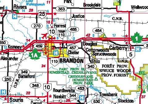
The full province was put on the map in the update of 2000. This year, the portion of the map for southern Manitoba has been expanded to better show the highway network, to encourage tourists to visit these areas of the province, the minister said.
New additions to the map include marking of the old Dawson Trail in eastern Manitoba, named after Simon Dawson, a surveyor who helped establish a water and land route from the Thunder Bay area to Winnipeg, well before rail lines and roads. The new map also includes Historic No. 1 Highway (PTH 44), which was part of the first national highway system before the current Trans-Canada Highway. There is also more information on the map about Manitoba’s provincial parks.
The map continues to highlight Travel Manitoba information centres and presents welcome greetings in more than 25 languages, reflecting the cultural diversity of Manitoba, Ashton added.
The map can be accessed at www.gov.mb.ca/mit/map/index.html and includes an overview of the province. Users can select specific regions, which can be enlarged to provide more detail. There is also a link to the Provincial Parks Guide.