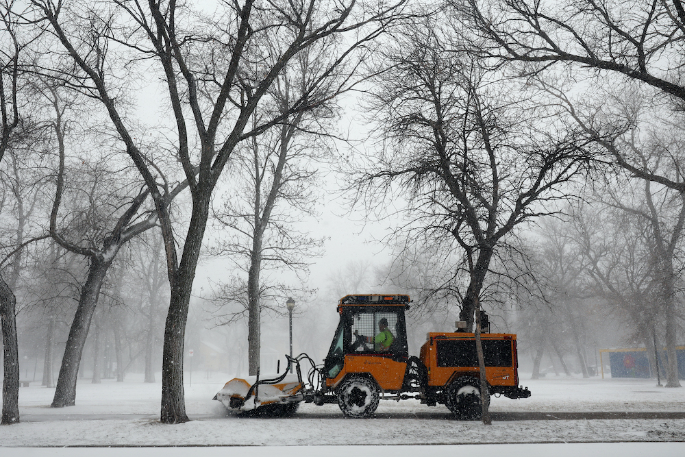
More wintry weather on its way
Advertisement
Read this article for free:
or
Already have an account? Log in here »
We need your support!
Local journalism needs your support!
As we navigate through unprecedented times, our journalists are working harder than ever to bring you the latest local updates to keep you safe and informed.
Now, more than ever, we need your support.
Starting at $15.99 plus taxes every four weeks you can access your Brandon Sun online and full access to all content as it appears on our website.
Subscribe Nowor call circulation directly at (204) 727-0527.
Your pledge helps to ensure we provide the news that matters most to your community!
To continue reading, please subscribe:
Add Brandon Sun access to your Free Press subscription for only an additional
$1 for the first 4 weeks*
*Your next subscription payment will increase by $1.00 and you will be charged $20.00 plus GST for four weeks. After four weeks, your payment will increase to $24.00 plus GST every four weeks.
Read unlimited articles for free today:
or
Already have an account? Log in here »
Hey there, time traveller!
This article was published 18/04/2022 (1364 days ago), so information in it may no longer be current.
After enduring between 50 and 100 centimetres of snow last week, Westman residents will have to deal with some more unseasonal wintry weather in the coming days.
An additional layer of spring snow is scheduled to fall in Brandon around Tuesday and Wednesday courtesy of an Alberta clipper, according to Environment Canada meteorologist Kyle McAuley.
“This is probably going to bring a few centimetres of snow, up to 10 centimetres at the most,” he said. “There will be a little bit of rain mixed in with it at the end as temperatures warm up.”
McAuley revealed that Westman residents should also prepare for more precipitation on Friday, with another strong low-pressure system, potentially a Colorado low, moving up from the United States.
“Models are showing a few different solutions,” he said. “Some involve rain mixed with snow, some models are even showing potential thunder storms down to the south, and there’s even a possibility of freezing rain.”
Throughout the week, McAuley said, local temperatures will remain well below average for this time of year, thanks in part to the one-two punch of the recent blizzard and heavy weekend snowfall that locals are still recovering from.
“In Brandon, our normal [temperature] should be around 12 degrees, and we’re seeing a high tomorrow of around -2 [C],” he said on Monday. “So it’s very unusual. Usually, the snow is almost gone by this time of year, but there’s more on the way.”
However, McAuley predicts regular spring temperatures will return to the Westman region next week, with increasingly lengthy days allowing for more sunshine to melt the excess snow.
“We’re only two months away from the first day of summer, the longest day of the year, and our UVs right now are similar to what they are at the end of August, and the sun is pretty intense out there.”
In the meantime, McAuley suggests that Westman residents exercise caution as they travel this week, especially since fluctuating temperatures can result in treacherous road conditions.
“Keep a close eye on the forecast and be prepared and give yourself extra time if you have to travel.”
» kdarbyson@brandonsun.com
» Twitter:@KyleDarbyson