Some flooding expected along Assinboine River
Advertisement
Read this article for free:
or
Already have an account? Log in here »
We need your support!
Local journalism needs your support!
As we navigate through unprecedented times, our journalists are working harder than ever to bring you the latest local updates to keep you safe and informed.
Now, more than ever, we need your support.
Starting at $15.99 plus taxes every four weeks you can access your Brandon Sun online and full access to all content as it appears on our website.
Subscribe Nowor call circulation directly at (204) 727-0527.
Your pledge helps to ensure we provide the news that matters most to your community!
To continue reading, please subscribe:
Add Brandon Sun access to your Free Press subscription for only an additional
$1 for the first 4 weeks*
*Your next subscription payment will increase by $1.00 and you will be charged $20.00 plus GST for four weeks. After four weeks, your payment will increase to $24.00 plus GST every four weeks.
Read unlimited articles for free today:
or
Already have an account? Log in here »
Hey there, time traveller!
This article was published 29/04/2022 (1261 days ago), so information in it may no longer be current.
Manitoba’s Red River Valley is bracing for what could be its worst spring flood since 1997, with dozens of rural homes likely to be evacuated and roads to become submerged.
Provincial officials aren’t panicking because, they say, communities and individual properties in the flood zone are protected against the projected peak thanks to improvements made since the devastating Flood of the Century 25 years ago.
The outlook for Westman isn’t as severe. Although provincial officials said Friday that some low-lying areas around the Assiniboine River are expected to see flooding, no structures are expected to be threatened at this point.
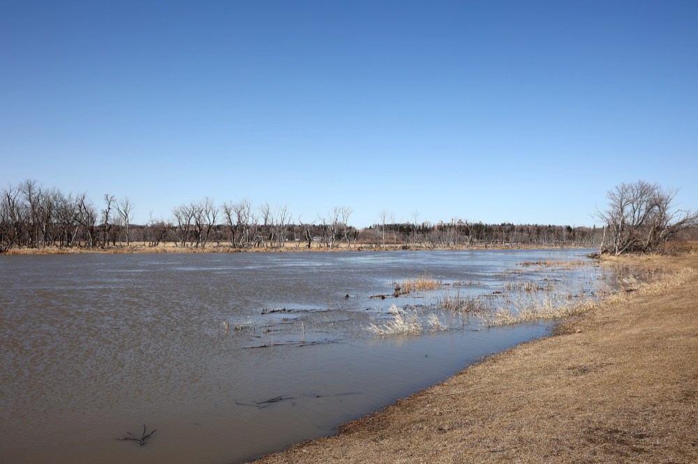
A flood warning remains in place along the Assiniboine from St. Lazare to Brandon, with water levels rising due to local runoff and tributary inflows.
Provincial officials are operating the Shellmouth Dam to reduce the risk of flooding while maintaining storage capacity for the water supply.
Along the Souris River, moderate flooding is expected between the border with the United States along to Wawanesa.
At a news conference, Fisaha Unduche, executive director of hydrologic forecasting and water management for Manitoba, said this weekend’s Colorado low weather system could propel peak flows past those of the 2009 flood, which was the largest since 1997.
He said peak levels along the Red are expected in Emerson around May 7-9, and they could stay within the valley until May 14.
Four weather systems packed with rain and/or snow have hit the province this month, and this weekend’s Colorado low could bring an additional 30 to 80 millimetres of precipitation to southern Manitoba, said Unduche.
Water levels are rising on many rivers or tributaries, and many municipalities have been dealing with overland flooding caused by last weekend’s Colorado low, which dumped more than 70 millimetres of precipitation in some places.
Environment and Climate Change Canada issued a rainfall warning for much of southern Manitoba, including Brandon, and parts of northwestern Ontario on Friday predicting 20 to 50 millimetres of rain for the subsequent 24 to 36 hours.
Like last weekend’s storm, some areas could receive embedded thunderstorms as part of the system.
Provincial crews were prepared to close Highway 75 on the north side of Morris as early as Friday to seal that section of the town’s ring dike to protect it from the rising Red.
» Winnipeg Free Press, with files from The Brandon Sun