Parts of northern Alberta slated to see upwards of 30 cm of snow by Tuesday
Advertisement
Read this article for free:
or
Already have an account? Log in here »
We need your support!
Local journalism needs your support!
As we navigate through unprecedented times, our journalists are working harder than ever to bring you the latest local updates to keep you safe and informed.
Now, more than ever, we need your support.
Starting at $15.99 plus taxes every four weeks you can access your Brandon Sun online and full access to all content as it appears on our website.
Subscribe Nowor call circulation directly at (204) 727-0527.
Your pledge helps to ensure we provide the news that matters most to your community!
To continue reading, please subscribe:
Add Brandon Sun access to your Free Press subscription for only an additional
$1 for the first 4 weeks*
*Your next subscription payment will increase by $1.00 and you will be charged $20.00 plus GST for four weeks. After four weeks, your payment will increase to $24.00 plus GST every four weeks.
Read unlimited articles for free today:
or
Already have an account? Log in here »
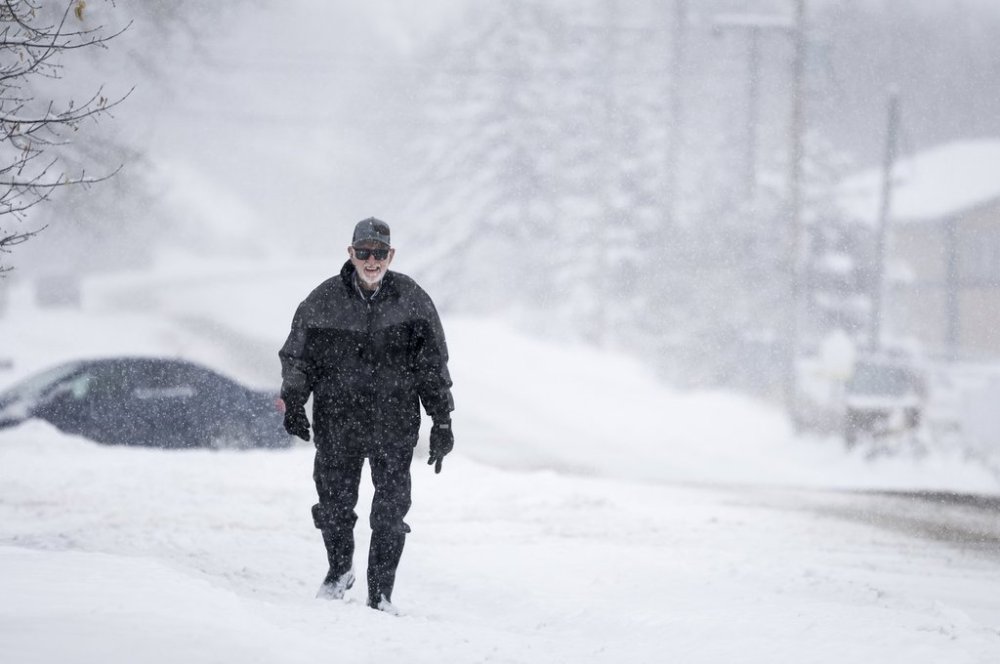
EDMONTON – Many parts of north and southeastern Alberta are expected to get a blast of wintry weather Monday.
Environment Canada says much of the Peace Region north of Edmonton, including Grande Prairie in the west and areas near Athabasca in the east, could see between 15 and 30 centimetres of snow.
The weather office says aside from possible breaks, snow is expected to fall until later Monday.
Areas south of Edmonton, such as Red Deer and Medicine Hat, are under a winter storm watch that could bring heavy rain, strong winds and flurries before Tuesday.
Forecasters say the front will bring hazardous conditions and are encouraging people to put off any travel.
In the Rocky Mountains, the weather service is warning of strong wind gusts up to 100 kilometres per hour in areas as far north as Banff and stretching to the border with Montana.
This report by The Canadian Press was first published Dec. 8, 2025.