Late-season snowfall to hit Westman
Advertisement
Read this article for free:
or
Already have an account? Log in here »
We need your support!
Local journalism needs your support!
As we navigate through unprecedented times, our journalists are working harder than ever to bring you the latest local updates to keep you safe and informed.
Now, more than ever, we need your support.
Starting at $15.99 plus taxes every four weeks you can access your Brandon Sun online and full access to all content as it appears on our website.
Subscribe Nowor call circulation directly at (204) 727-0527.
Your pledge helps to ensure we provide the news that matters most to your community!
To continue reading, please subscribe:
Add Brandon Sun access to your Free Press subscription for only an additional
$1 for the first 4 weeks*
- Enjoy unlimited reading on brandonsun.com
- Read the Brandon Sun E-Edition, our digital replica newspaper
*Your next Free Press subscription payment will increase by $1.00 and you will be charged $20.95 plus GST for four weeks. After four weeks, your payment will increase to $24.95 plus GST every four weeks.
Read unlimited articles for free today:
or
Already have an account? Log in here »
A late-season winter system is expected to bring accumulating snow to Brandon and across the Westman region today and continuing through Tuesday morning, according to Environment Canada.
Meteorologist James Colangelo said a developing low-pressure system moving across the northern United States will push a band of heavier snow through Saskatchewan and into western Manitoba.
“We’re expecting the snow to move into Westman from Sunday night into Monday morning,” Colangelo told the Sun. “From there, it will likely be fairly consistent through the day Monday and into Monday night.”
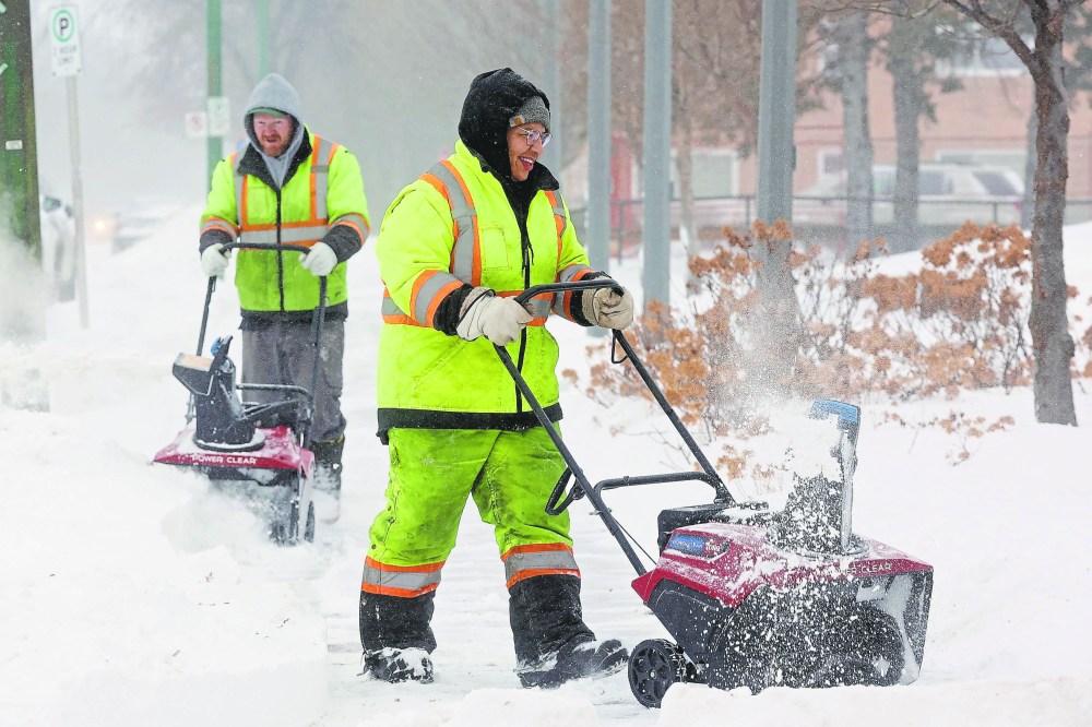
Forecast totals for the region are generally expected to range between five and 10 centimetres by Monday night into Tuesday, he said, with some areas potentially receiving between 10 and 15 centimetres.
Higher amounts are also possible in elevated regions such as the Riding Mountains and Parkland area, he said.
“For Brandon, snowfall amounts are expected to be around the 10-centimetre mark over a 24- to 36-hour period ending Tuesday morning,” he said.
Colangelo said the system qualifies as a typical late-season snowfall but could still pose challenges for residents, particularly during peak travel times.
“The Monday afternoon commute could be a little bit treacherous,” he said. “There is likelihood of heavier snowfall during the morning through midday hours.”
Drivers are being urged to exercise caution, especially on highways where rapidly accumulating snow may reduce traction and increase stopping distances and reduced visibility is also possible during periods of heavier snowfall, he said.
“Just be prepared if you’re going out on the roads on Monday, and keep your distance between the car ahead of you,” Colangelo advised.
When asked if this will be the final snowfall of the season, Colangelo said there is still some uncertainty.
“There could be another system at the end of the week, but it’s a little too early to say,” he said. “We’re not completely out of the woods yet.”
He asked residents to monitor local forecasts and watch for any weather warnings or advisories that may be issued as the system develops.
» aodutola@brandonsun.com
» X: @AbiolaOdutola