Southwestern Manitoba hardest hit by flooding
Advertisement
Read this article for free:
or
Already have an account? Log in here »
We need your support!
Local journalism needs your support!
As we navigate through unprecedented times, our journalists are working harder than ever to bring you the latest local updates to keep you safe and informed.
Now, more than ever, we need your support.
Starting at $15.99 plus taxes every four weeks you can access your Brandon Sun online and full access to all content as it appears on our website.
Subscribe Nowor call circulation directly at (204) 727-0527.
Your pledge helps to ensure we provide the news that matters most to your community!
To continue reading, please subscribe:
Add Brandon Sun access to your Free Press subscription for only an additional
$1 for the first 4 weeks*
*Your next subscription payment will increase by $1.00 and you will be charged $20.00 plus GST for four weeks. After four weeks, your payment will increase to $24.00 plus GST every four weeks.
Read unlimited articles for free today:
or
Already have an account? Log in here »
Hey there, time traveller!
This article was published 30/06/2014 (4326 days ago), so information in it may no longer be current.
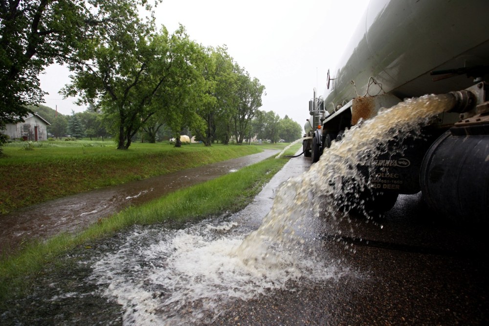
Thirty-one municipalities have declared local emergencies and more than 200 people have been evacuated as flooding continues to wreak havoc in large parts of Manitoba, according to Steve Ashton, Manitoba’s minister of infrastructure and transportation.
The southwestern part of the province was one of the areas most impacted by overland flooding caused by heavy rain and storm that started on Friday and continued over the weekend.
“We’re seeing record flows on many of the tributaries across the province. We’re seeing some very significant flows, much greater than normal,” Ashton said in a press conference.
Flood warnings have been issued for the Assiniboine River, from the Shellmouth Dam to Brandon, all points along the Winnipeg River system including Nutimik Lake, Lake St. Martin, Dauphin Lake, Qu’Appelle River, Vermillion River and Valley River near Dauphin, Medora Creek near Napinka, Gainsborough Creek near Lyleton, Gopher Creek near Virden, Roaring River at Minitonas, McKinnon Creek near McCreary, Scissor Creek near McCauley, Little Souris River near Brandon, Epinette Creek near Carberry, Graham Creek near Melita and the Little Saskatchewan River near River, according to a release by the province.
Flood watches have also been issued for Lake Manitoba and Lake Winnipeg, with high water advisories for all points along the Red, Souris and Saskatchewan rivers.
Emergency procedures are being enacted, Ashton said. The province will open the Red River floodway at 9 a.m. tomorrow. The Portage diversion has already been opened. Construction will also begin on the Lake St. Martin emergency outlet channel on July 2, and will start taking water soon after, Ashton said.
Lee Spencer, executive director with the Manitoba Emergency Measures Organization, said anybody with damage should document it, as the province covers some costs of damage and repairs. Spencer said rather than wait, residents should photograph damage, repair it and keep track of their spending.
Because of road closures, the province is also asking travelers to call 511 to check on what roads are open before traveling.
The Red River is rising at all points, the release stated. The most recent recorded level at James Avenue today was 17 ft. It will keep rising to about 17.4 to 17.7 ft. during the week, and stay above 14 ft. until mid-July.
History
Updated on Monday, June 30, 2014 5:21 PM CDT: Adds update on Red River levels