Several Quebec rivers under flood watch as Montreal activates response plan
Advertisement
Read this article for free:
or
Already have an account? Log in here »
We need your support!
Local journalism needs your support!
As we navigate through unprecedented times, our journalists are working harder than ever to bring you the latest local updates to keep you safe and informed.
Now, more than ever, we need your support.
Starting at $15.99 plus taxes every four weeks you can access your Brandon Sun online and full access to all content as it appears on our website.
Subscribe Nowor call circulation directly at (204) 727-0527.
Your pledge helps to ensure we provide the news that matters most to your community!
To continue reading, please subscribe:
Add Brandon Sun access to your Free Press subscription for only an additional
$1 for the first 4 weeks*
- Enjoy unlimited reading on brandonsun.com
- Read the Brandon Sun E-Edition, our digital replica newspaper
*Your next Free Press subscription payment will increase by $1.00 and you will be charged $20.95 plus GST for four weeks. After four weeks, your payment will increase to $24.95 plus GST every four weeks.
Read unlimited articles for free today:
or
Already have an account? Log in here »
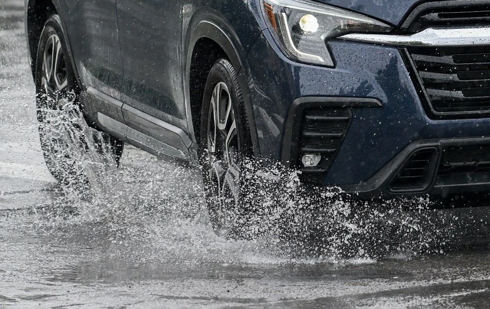
MONTREAL – Several rivers across Quebec are under flood watch, with parts of the province receiving as much as 40 millimetres of rain since the start of the week, while the forecast is calling for warm, snow-melting temperatures and more rain in the coming days.
As of 4 p.m. on Wednesday, the province reported one case of medium flooding near Rawdon, Que., in the Lanaudière region north of Montreal. There were nine cases of minor floods and 19 areas under surveillance.
The rivers under watch are located across several regions, including in Lanaudière, the Outaouais region in western Quebec, the Laurentians north of Montreal, and the Quebec City area.
Parts of the Outaouais and Laurentians have already received up to 40 mm of rain since the start of the week, according to Environment Canada meteorologist Julien Pellerin. Those areas, as well as other southern Quebec regions stretching from Gatineau to the Eastern Townships, could be getting between 15 and 25 mm more by Friday morning, he said in a phone interview.
“That rain will fall into the regions where most of the problematic rivers are,” he said. He noted that temperatures could rise to 20 C on Saturday, in southern Quebec, speeding up snowmelt and sending more water into swollen rivers. Pellerin said most of the flooding is expected to be localized only, largely because river levels were low last fall.
The City of Montreal has activated its flood intervention plan in response to rising water levels around the island. Mayor Soraya Martinez Ferrada said there wasn’t any flooding on Wednesday, but the city wants to be prepared. Crews have installed protective measures in vulnerable areas, and are ready to take further action, she added.
“Our absolute priority is the safety of Montrealers,” she said in a statement.
Environment Canada is calling for rain in Montreal later on Wednesday and to continue through Friday.
Pellerin said there will be sunny weather on Saturday before the rain returns Sunday along with much cooler temperatures to start next week.
“There could even be a little snow,” he said.
This report by The Canadian Press was first published April 15, 2026.