Snowstorm could be ‘worst in decades’
Advertisement
Read this article for free:
or
Already have an account? Log in here »
We need your support!
Local journalism needs your support!
As we navigate through unprecedented times, our journalists are working harder than ever to bring you the latest local updates to keep you safe and informed.
Now, more than ever, we need your support.
Starting at $15.99 plus taxes every four weeks you can access your Brandon Sun online and full access to all content as it appears on our website.
Subscribe Nowor call circulation directly at (204) 727-0527.
Your pledge helps to ensure we provide the news that matters most to your community!
To continue reading, please subscribe:
Add Brandon Sun access to your Free Press subscription for only an additional
$1 for the first 4 weeks*
*Your next subscription payment will increase by $1.00 and you will be charged $20.00 plus GST for four weeks. After four weeks, your payment will increase to $24.00 plus GST every four weeks.
Read unlimited articles for free today:
or
Already have an account? Log in here »
Hey there, time traveller!
This article was published 11/04/2022 (1358 days ago), so information in it may no longer be current.
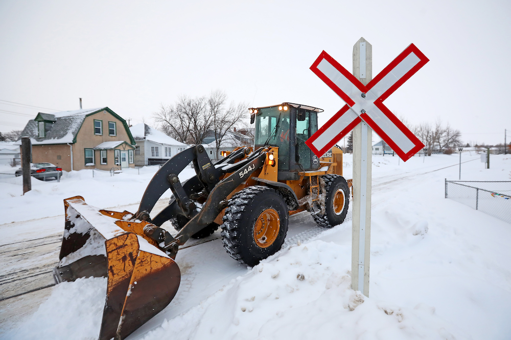
A snowstorm forecast for southern Manitoba, including Westman, “has the potential to be the worst blizzard in decades,” according to Environment Canada.
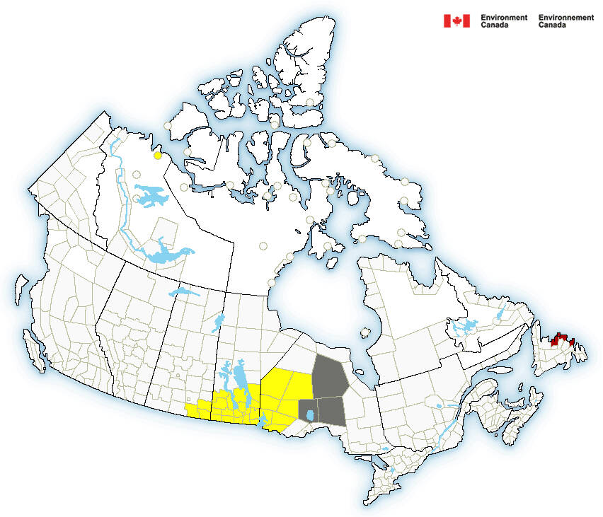
An alert published on the Environment Canada website early Monday morning states that snow will start early Tuesday evening near the border with the United States, travelling northward as the night progresses.
Heavy snow and strong northerly winds are expected Wednesday morning as the low-pressure system moves toward northwest Ontario.
Most areas are expected to receive between 30 to 50 centimetres of snow, with some areas on higher terrain potentially being covered with up to 80 centimetres.
“Westman, Brandon to the Saskatchewan border has the chance to see some of the highest snowfall amounts,” said Sara Hoffman, a meteorologist with Environment Canada. She expects the Riding Mountain area to get the brunt of the snow.
“I am expecting some of the worst conditions in [that] neck of the woods.”
According to Hoffman, the storm could be a one-in-30 years event. Between Wednesday and Thursday mornings, she expects 25 to 40 centimetres of snow to fall over Brandon.
She warned anyone with plans to travel by highway to either get where they’re going before the snow starts to fall or delay their trip until it has stopped.
“Even beginning Tuesday night, the visibility will become reduced by heavy falling snow and blowing snow,” Hoffman said. “If you had plans late Tuesday night into Wednesday morning, I would think of postponing or going a little bit earlier.”
After the storm, Hoffman said it will likely be cold for a couple of weeks, at least in part because of the snow that has fallen.
During a virtual media call Monday afternoon, provincial officials said the cold after the storm will likely be a defence against major flooding as it will prevent water from draining quickly into rivers.
“The amount of moisture we’re going to get is concerning, but in the future forecast for next week, the temperature is supposed to be below zero from Wednesday all the way to the following week,” Transportation and Infrastructure Minister Doyle Piwniuk said.
“If we get an abundance of snow, this is actually ideal for a slow melt and allow the river flow we had that peaked last week being reduced, especially when there’s a cold temperature, and the flow of tributaries to the Red River and Assiniboine River will be much lower.”
The minister echoed Hoffman’s advice, saying that travellers should either make their trips before the storm has arrived or after it has left.
If the RCMP close the highways, Piwniuk said, it’s important to follow those directions because not only will the wind and snow on the highways be dangerous, but also the pools of water that have formed at the roadside due to runoff and melt.
The executive director of Manitoba’s hydrologic forecasting and water management, Fisaha Unduche, said he expects snowmelt to begin again around April 20.
At the City of Brandon, emergency co-ordinator Tobin Praznik said city departments spent part of the day making sure plans were in place ahead of the weather.
“With a system of this magnitude, it’s our hope that residents are keeping a close eye on it,” Praznik said. “Approaching Easter, a lot of them probably have travel plans and hopefully, they rethink their departures times … if they do so, hopefully, they’re prepared with a winter kit.”
The city will be offering updates throughout the storm on its website and social media platforms. Hoffman recommends residents keep an eye on any public service announcements and updated forecasts from Environment Canada.
“Probably the biggest risk would be potential power outages,” he said. “With this type of snow in spring, it’s going to be very heavy and the projected winds of 60 to 70 kilometres an hour, the risk would be power outages in the area and depending on the accumulation numbers, [so] is accessibility for our community and our emergency services to go from point A to point B.”
Since there is a chance power will be disrupted, Hoffman, Environment Canada and Praznik are recommending that people living in affected areas stock up on supplies and medication now and create an emergency kit containing drinking water, food, medicine, a first-aid kit and a flashlight.
Hoffman also suggests purchasing candles and matches.
“It’s incredible how far a candle can go if the power’s out,” she said. “It not only gives you some light, but it also throws off a little heat that you wouldn’t expect.”
Manitoba Hydro posted a link on Twitter with tips for what to do in the case of an extended power outage Monday afternoon, though it did not comment on the likelihood of that happening.
» cslark@brandonsun.com
» Twitter: @ColinSlark