The Winnipeg Free Press would like to show you notifications for breaking news and noteworthy local journalism.
No Thanks
Allow
Notification Settings
This browser doesn't support push notifications at the moment. Check browsers features, update your browser or try to use one from the list of recommended to manage your notifications settings:
Firefox (27+)
Google Chrome (30+)
Safari ( MacOS 13+ with browser 16.1+ and iOS 16.4+ ) / Note make sure Push API support enabled under Settings > Safari > Advanced > Experimental Features
Microsoft Edge
If you wish to manage your notification settings from this browser you will need to update your browser's settings for this site. Just click button below and allow notifications for this site
Note Safari 16.4+ working on iOS devices also need this site app to be installed at device's Home Screen for Push Notifications to work
Notifications are blocked for this site. If you wish to manage your notification settings from this browser you will need to update your browser's settings. Usually you'd need to click on site options icon to the left of address bar and change notifications preferences/permissions from there
We need your support! Local journalism needs your support!
As we navigate through unprecedented times, our journalists are working harder than ever to bring you the latest local updates to keep you safe and informed.
Now, more than ever, we need your support.
Starting at $15.99 plus taxes every four weeks you can access your Brandon Sun online and full access to all content as it appears on our website.
*Your next subscription payment will increase by $1.00 and you will be charged $20.00 plus GST for four weeks. After four weeks, your payment will increase to $24.00 plus GST every four weeks.
Hey there, time traveller!
This article was published 24/03/2011 (5518 days ago), so information in it may no longer be current.
Brandon Sun archives, April 20, 1976
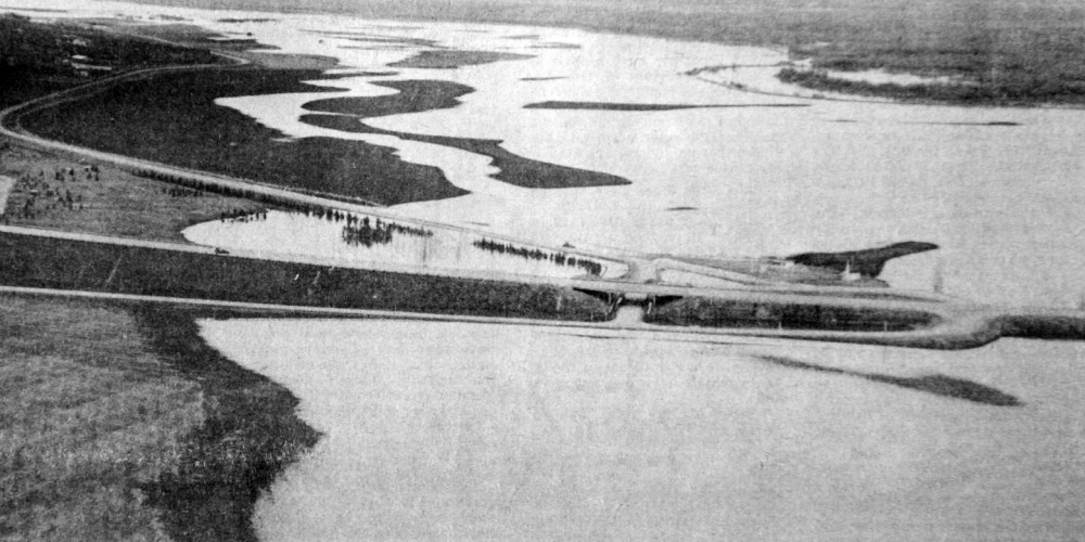
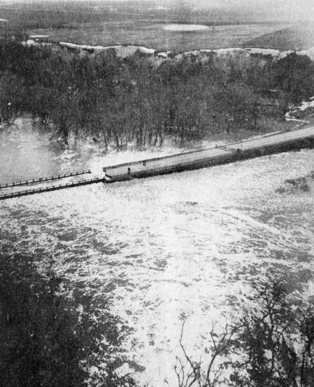
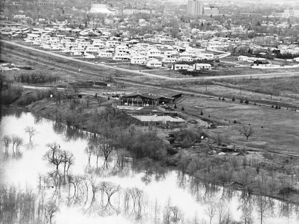
This aerial photograph, taken just west of the Trans-Canada Highway and looking east toward Brandon, shows the extent of flooding along Grand Valley.Brandon Sun archives, 1976
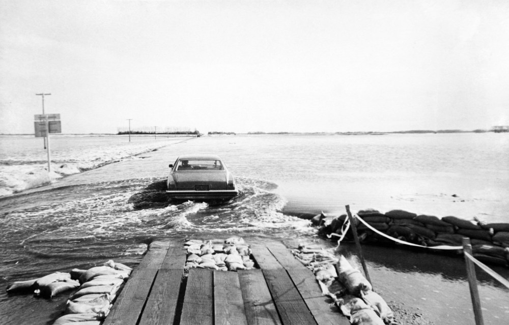
Grand Valley Road, outside Brandon in April.Brandon Sun archives, April 20, 1976
Aerial photo shows flood waters on Eighteenth Street, near the Grand Valley Road.Brandon Sun archives, 1976
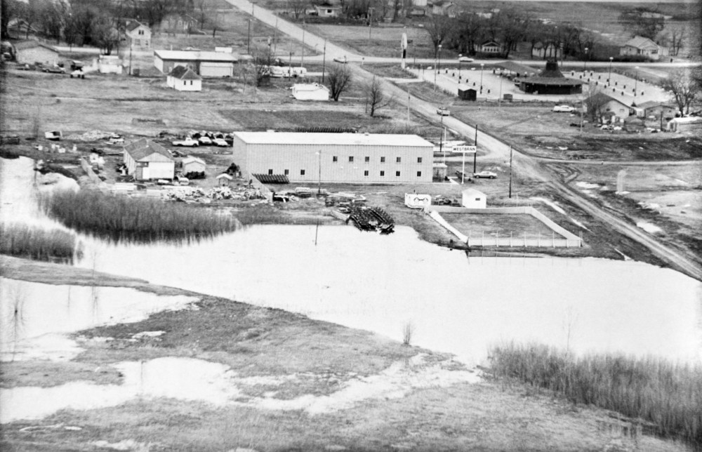
This appears to be looking east at the intersection of McGregor Avenue and 18th Street North (running left-right) with floodwaters lapping up against the Westbran yard, and the Circle 8 Drive-Inn restaurant in the upper-right.Brandon Sun archives, April 9, 1976
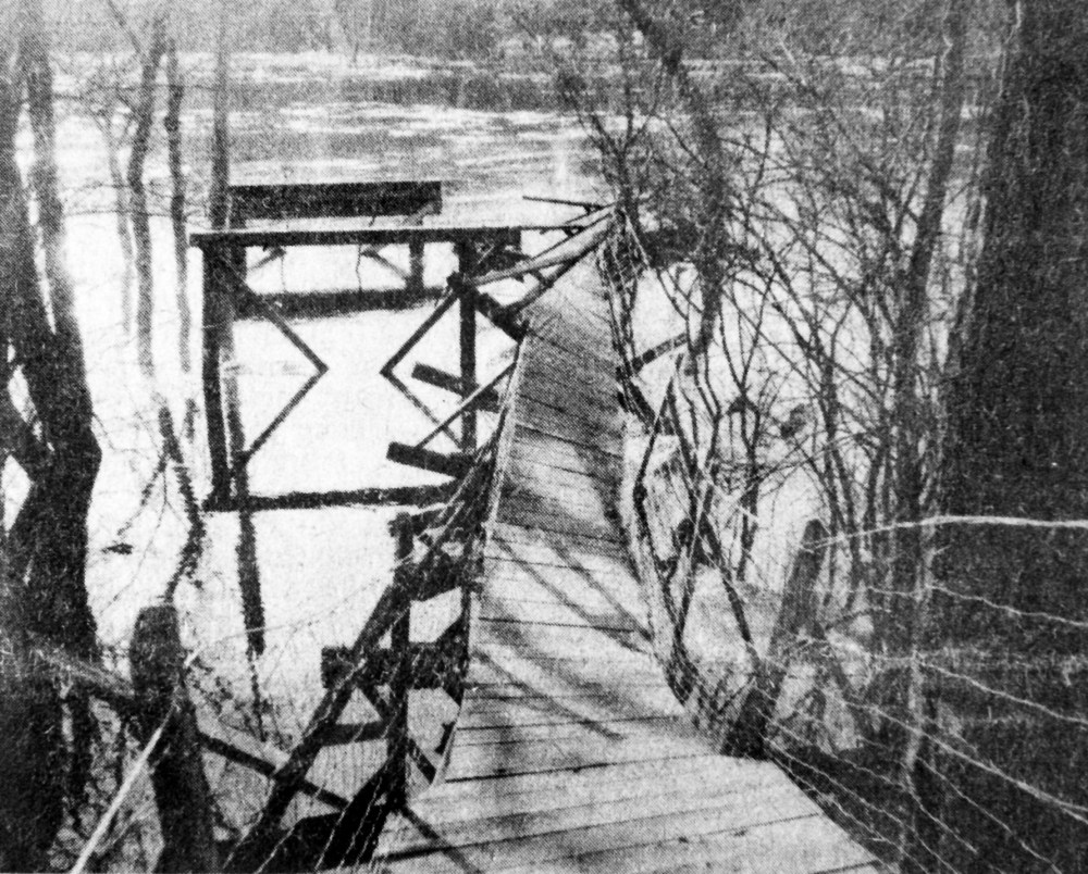
The historic swinging bridge at Souris was destroyed by ice floes carried along by the swollen river. About 75 troops from CFB Shilo joined in the battle against what was described as the worst flooding to hit Souris in recent history.Brandon Sun archives, 1976
Floodwaters in Westman. Location uncertain.Brandon Sun archives, 1976
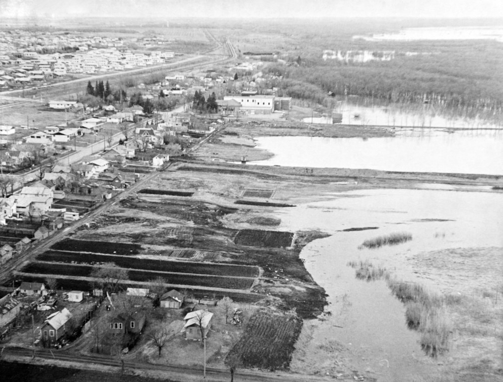
An aerial shot of Brandon and the Assiniboine River during the flood of 1976.Brandon Sun archives, April 14, 1976
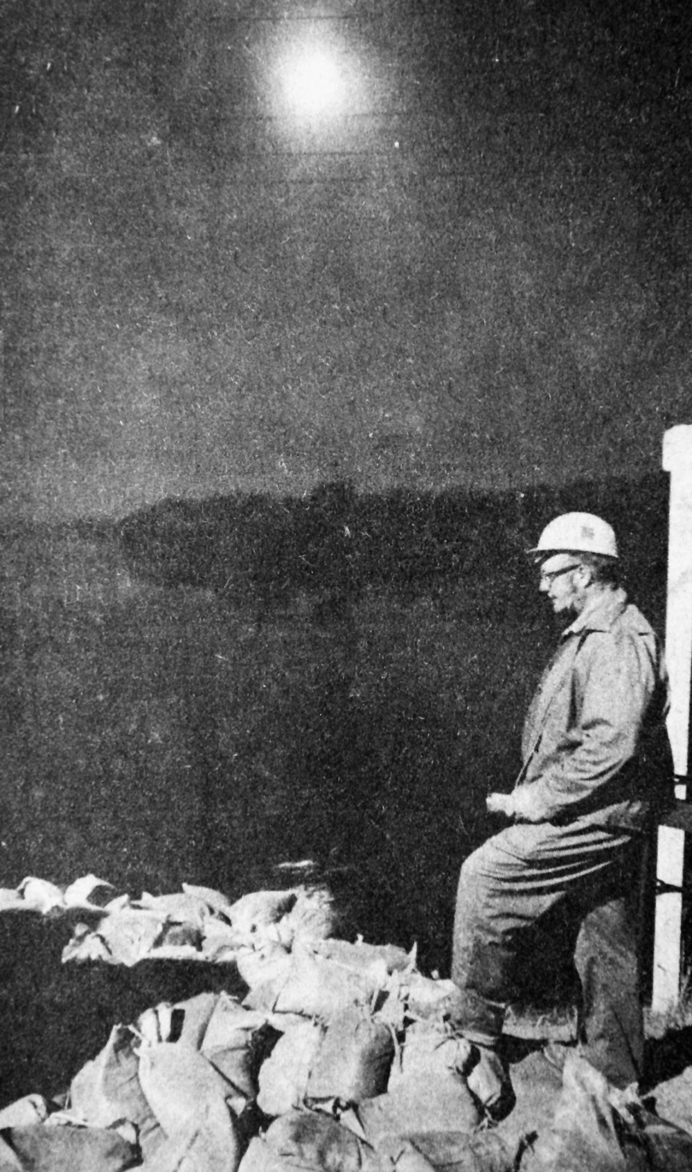
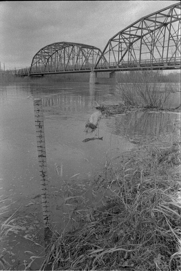
A flood fighter stands watch over the Souris River at Souris.Brandon Sun archives, April 17, 1976
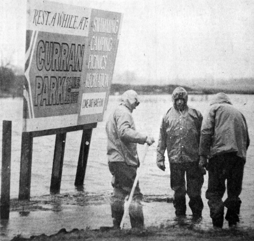
Rest a while at Curran Park, says the sign. There was little rest on the weekend for work crews fighting to protect Brandon from the waters of the Assiniboine River. And while the billboard boasted of the swimming facilities at Curran Park, recreation was no doubt far from the minds of the wet and weary workmen in the photograph.Brandon Sun archives, 1976
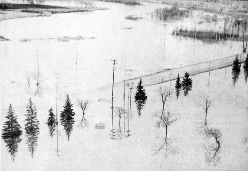
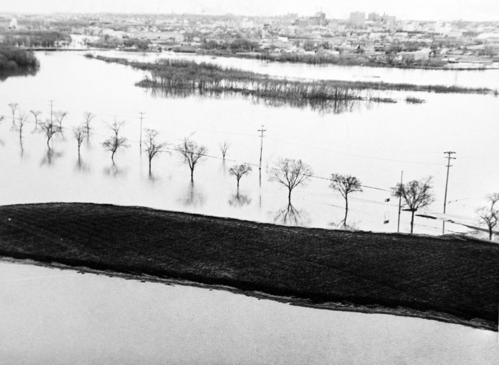
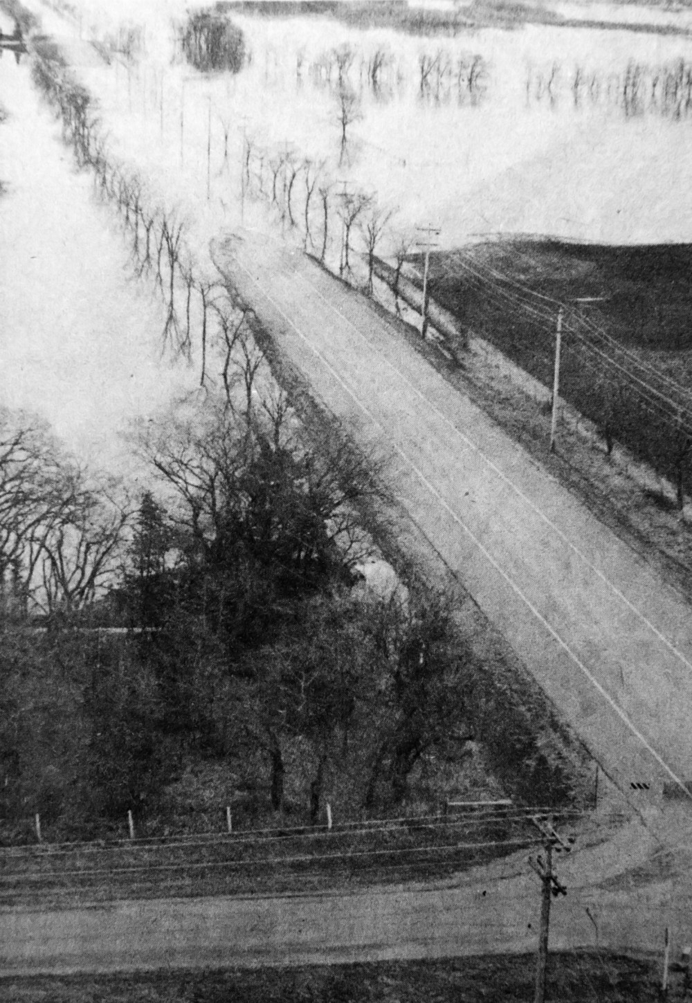
A line of trees marks the flooded-out Grand Valley Road.Brandon Sun archives, 1976
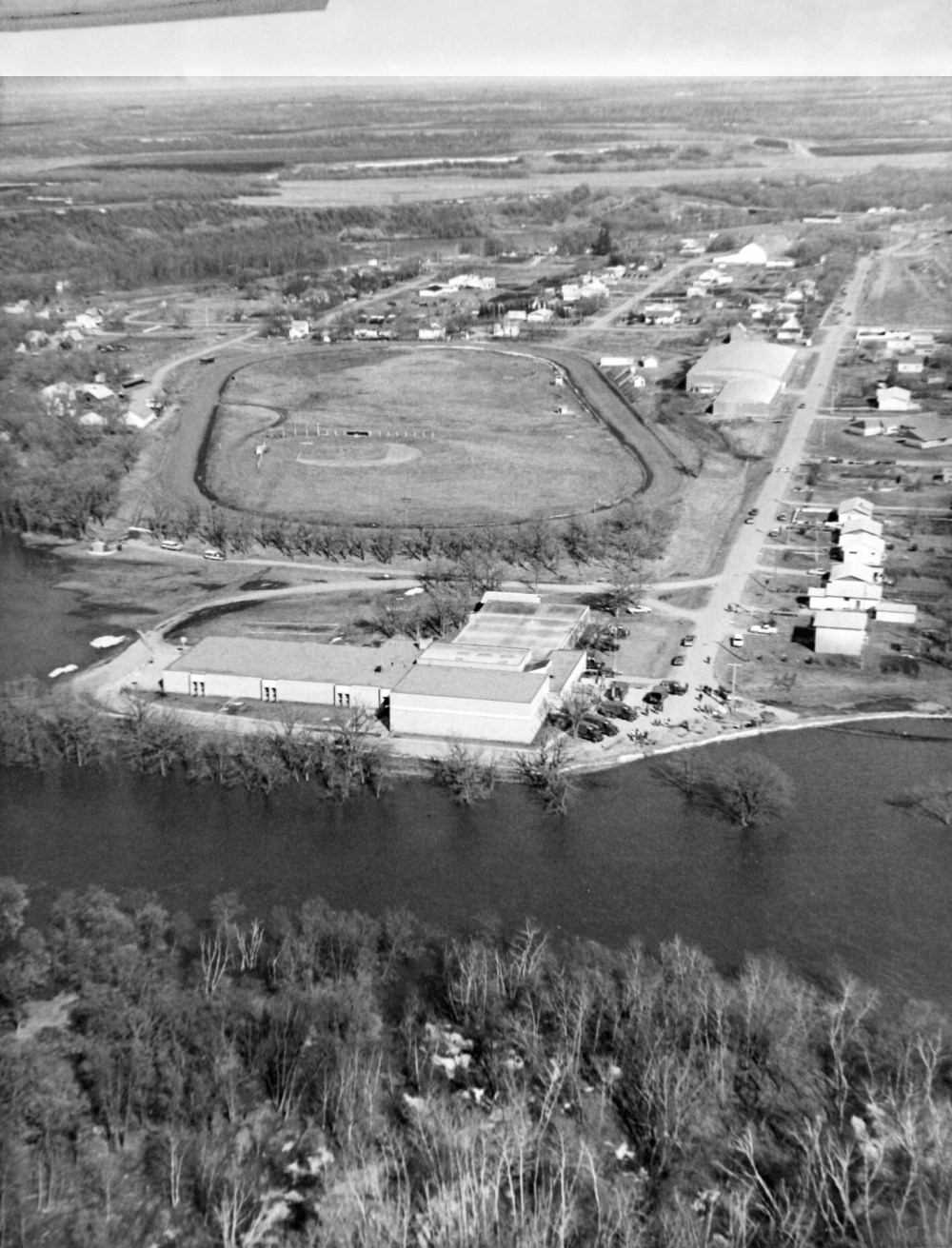
The town of Wawanesa was cut off by floodwaters in 1976. This aerial shot looks northeast at the fairgrounds, with Commercial Street on the right-hand side.Brandon Sun archives, 1976
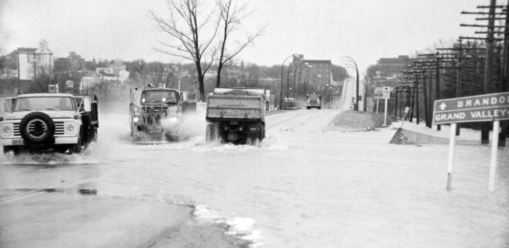
Trucks splash through a flooded 18th Street North, where it intersects with Kirkcaldy Drive and Grand Valley Road.Brandon Sun archives, 1976
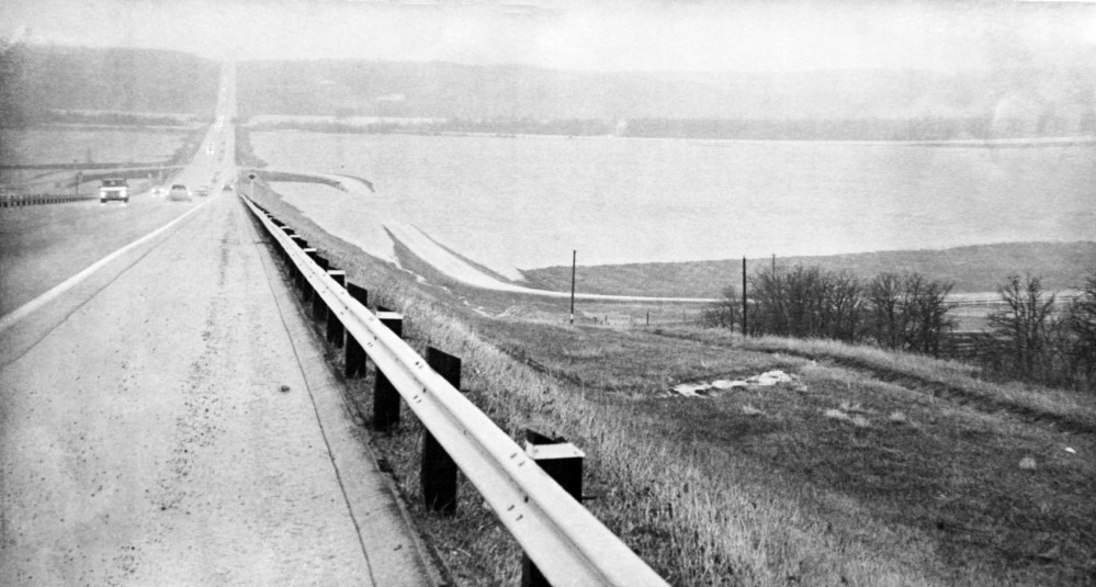
Grand Valley Road is flooded out where it would normally meet the Trans-Canada Highway.TruBrandon Sun archives, April 9, 1976
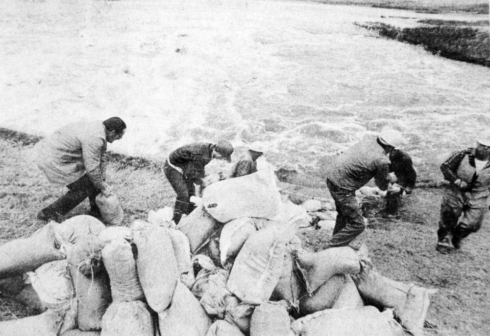
Souris residents struggle to contain the rapidly-rising waters of the Souris River. About 200 people worked around the clock, reinforcing dikes with sandbags in an effort to hold back the flood.Brandon Sun archives, April 21, 1976
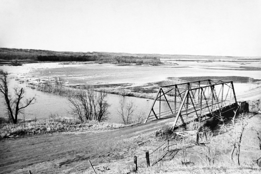
The bridge on the approach road to Wawanesa is among a number washed out by flood waters.Brandon Sun archives, April 22, 1976
Grand Valley Road looking towards 18th Street.Brandon Sun archives, April 22, 1976
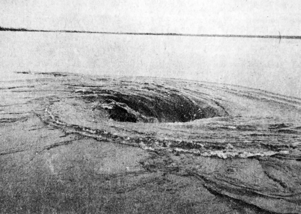
Water being sucked into a culvert forms a large whirlpool one mile west of Souris at Highway 2.Brandon Sun archives, April 8, 1976
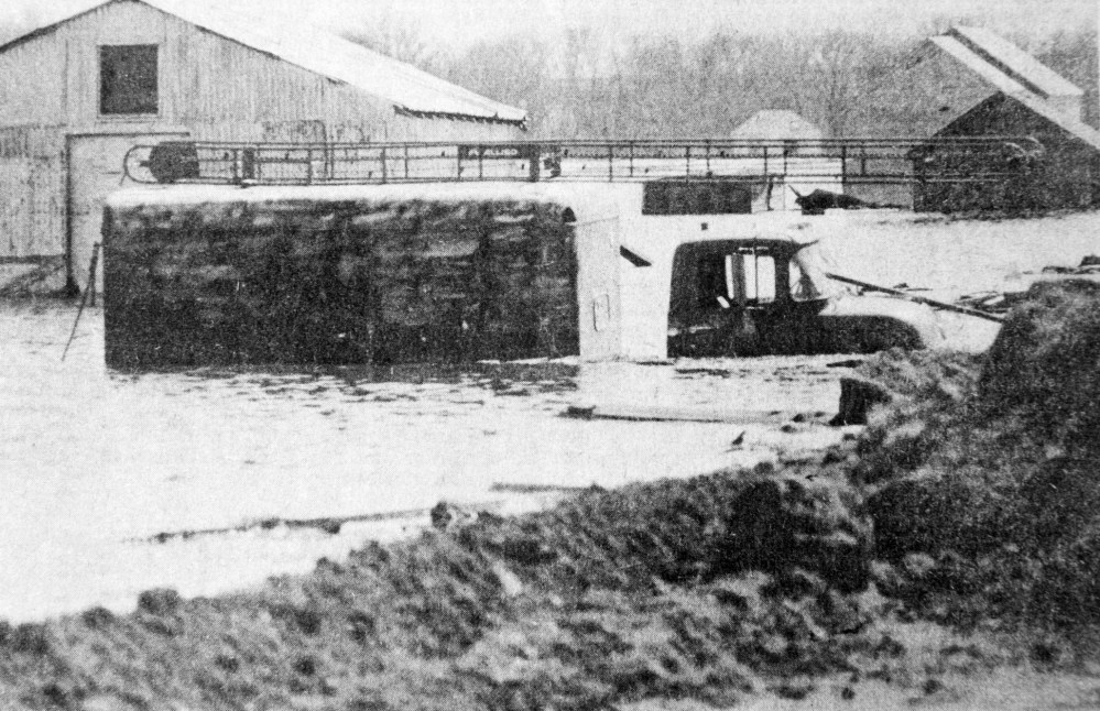
A partly-submerged truck in the Melita area outside the protection of the dike system along the Souris River.From Winnipeg Tribune Archives / Debooy.
The Assiniboine River flood, on April 22, 1976.Brandon Sun archives, April 22, 1976
Flood-fighting crews working at Highway 2, one mile west of Souris, place sandbags around a culvert carrying fast-flowing flood waters from nearby Plum Creek under the road.Brandon Sun archives, April 12, 1976
This aerial photograph shows the western approach to the village of Wawanesa, which was cut off by flood waters.Brandon Sun archives, 1976
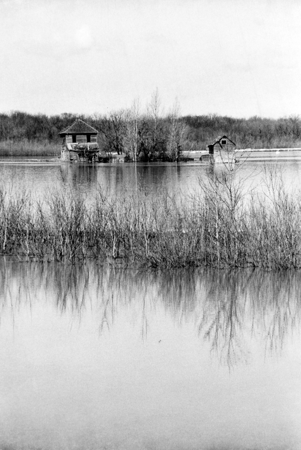
An abandoned farm house caught in flood waters.Brandon Sun archives
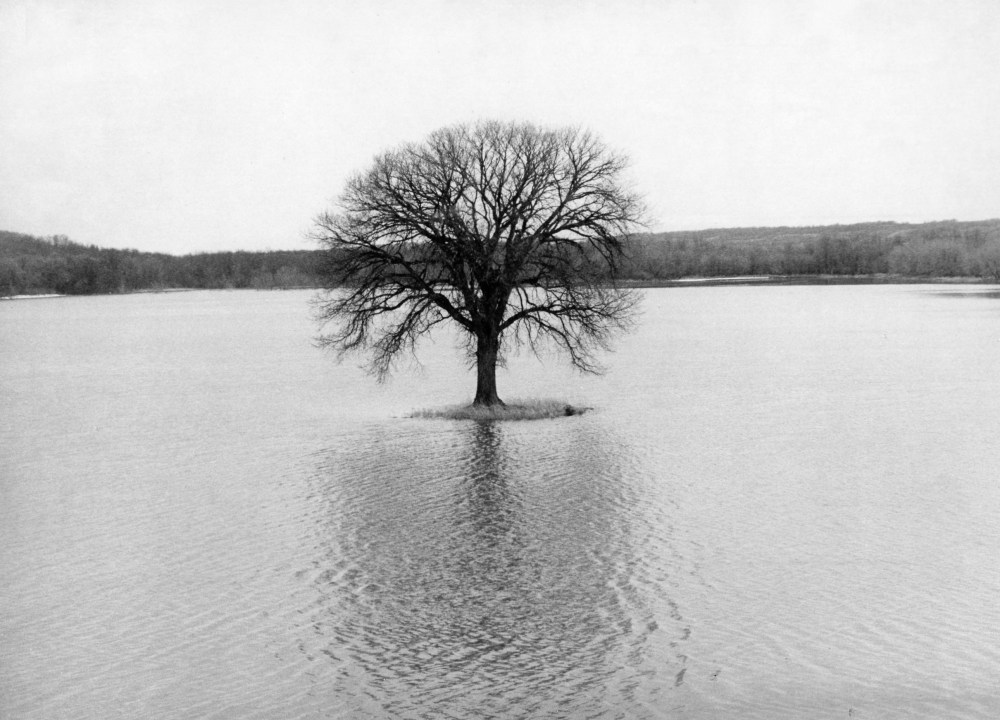
A lone tree stands in the flood waters along the river bank during the flood of 1976.Brandon Sun archives
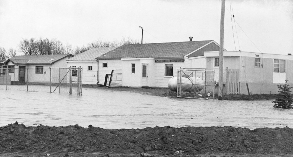
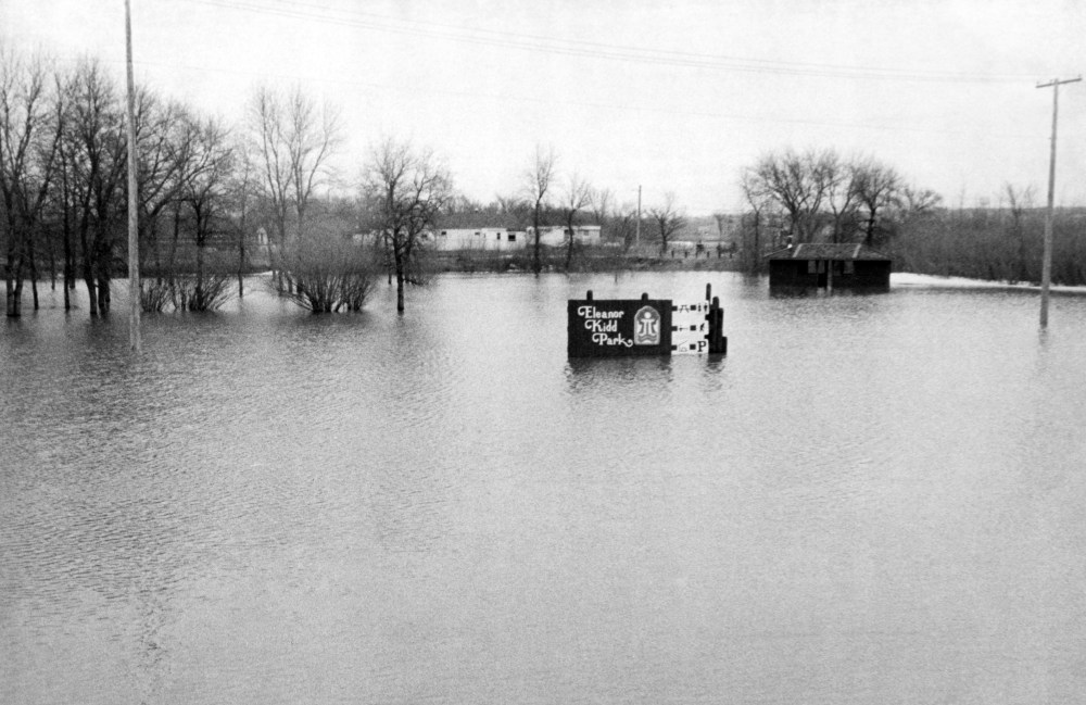
The Brandon Humane Society, at its previous location in Eleanor Kidd Park, during the 1976 flood.Brandon Sun archives
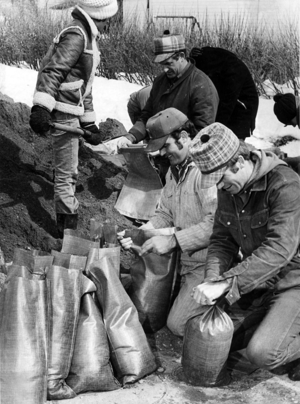
Volunteers prepare sand bags in the Waskada area in 1976.Brandon Sun archives
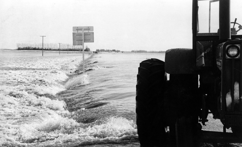
A water-logged section of Highway 34 during the flood of 1976.Brandon Sun archives
The Wheat City Golf Course under water during the 1976 flood.Brandon Sun archives
Crews at work building up dikes on MacDonald Avenue on April 15, 1976.Brandon Sun archives
Eleanor Kidd Park, during the flood of 1976.