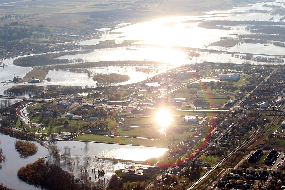
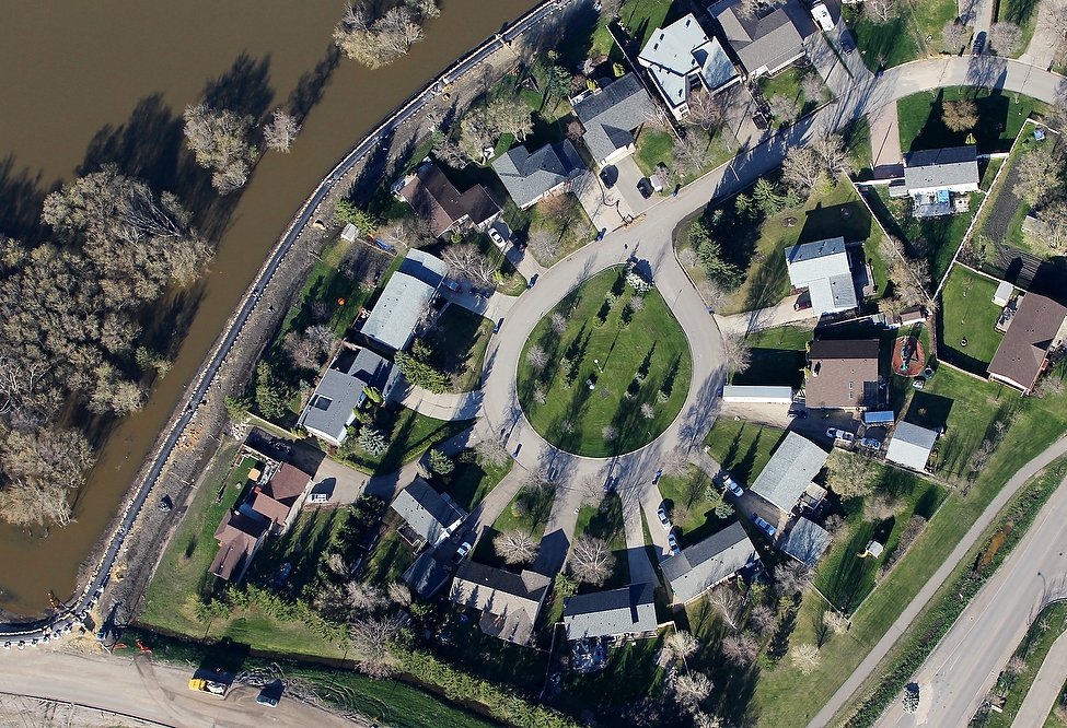
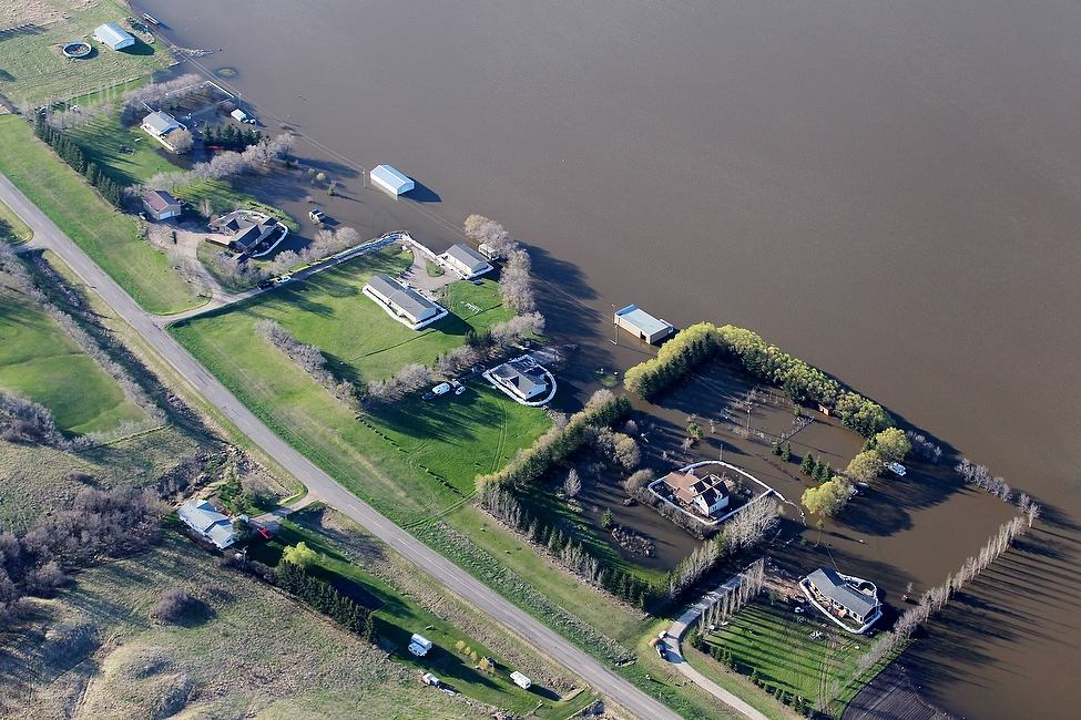
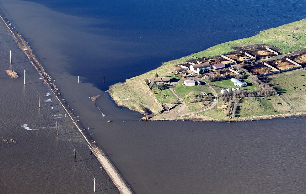
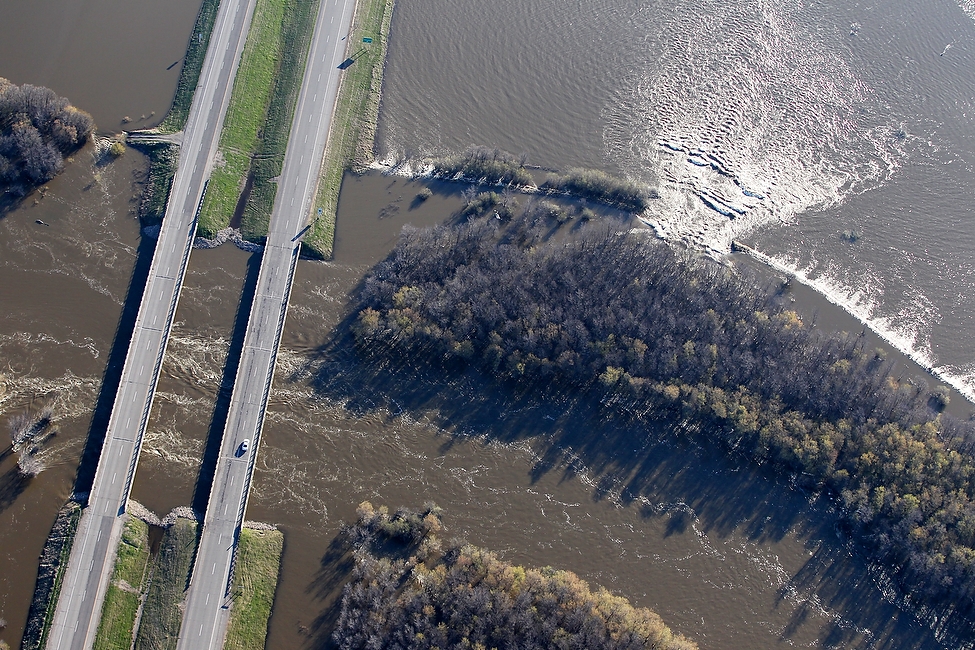
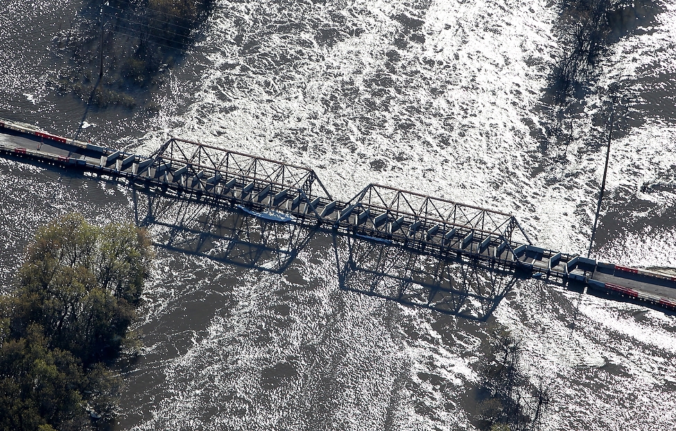
Newest Aerial Flood Photos – May 16, 2011

Advertisement

Advertise with us

Read this article for free:

or

Already have an account? Log in here »

We need your support!
Local journalism needs your support!

As we navigate through unprecedented times, our journalists are working harder than ever to bring you the latest local updates to keep you safe and informed.

Now, more than ever, we need your support.

Starting at $15.99 plus taxes every four weeks you can access your Brandon Sun online and full access to all content as it appears on our website.

Subscribe Now

or call circulation directly at (204) 727-0527.

Your pledge helps to ensure we provide the news that matters most to your community!

To continue reading, please subscribe:

Add Brandon Sun access to your Free Press subscription for only an additional

$1 for the first 4 weeks*

  • Enjoy unlimited reading on brandonsun.com
  • Read the Brandon Sun E-Edition, our digital replica newspaper
Start now

No thanks

*Your next subscription payment will increase by $1.00 and you will be charged $20.00 plus GST for four weeks. After four weeks, your payment will increase to $24.00 plus GST every four weeks.

Hey there, time traveller!
This article was published 17/05/2011 (5435 days ago), so information in it may no longer be current.

Brandon is seen from high above 1st St. North on the day of the Assiniboine Rivers crest, Monday, May 16, 2011.
Sunlight reflects off of standing water near Brandon Fire Hall #1 as the sun rises over Brandon.
A dike topped with an Aqua Dam protects Kasiurak Bay off of Kirkcaldy Dr. from the raging Assiniboine River.
Power lines cast long shadows in the flood waters.
Six homes bordering the south side of Grand Valley Rd. in the RM of Whitehead stand out against the flood waters covering the field and surrounding a few of the homes.
Highway 250 north of Alexander sits partially under water while a farm on a peninsula of higher ground rises above the flood waters on Monday morning.
The parking lot at the Walmart in the Corral Centre in Brandon sits empty under the mandatory evacuation notice on Monday morning. The Assiniboine River is in the process of cresting in the Brandon area.
The Assiniboine River pours into farmland bordering the river banks at the Highway 1 bridge. Do you have stellar shots of this spring's flooding?
A convoy of trucks is led north towards Veterans Way along Highway 110 which is protected from the high flood waters by Aqua Dams.
The Highway 250 bridge over the Assiniboine River north of Alexander barely sits above water on Monday morning.
Trees bordering 18th St. in Brandon cast long shadows in the flood water as traffic passes by.
Water appears to be slowly taking over a farm near the Assiniboine River.
Deerboine hutterite Colony northeast of Alexander appears small in comparison to the swollen Assiniboine River that fills most of the valley.
As of Monday morning Grand Valley Strawberry Farm east of Brandon off of Veterans Way is almost completely inundated with water.
The Assiniboine River fill most of the grand valley farmland bordering Grand Valley Rd. west of Brandon.
Report Error Submit a Tip

Point of View

LOAD MORE