
A look at British Columbia’s 12 wildfires of note
Advertisement
Read this article for free:
or
Already have an account? Log in here »
We need your support!
Local journalism needs your support!
As we navigate through unprecedented times, our journalists are working harder than ever to bring you the latest local updates to keep you safe and informed.
Now, more than ever, we need your support.
Starting at $15.99 plus taxes every four weeks you can access your Brandon Sun online and full access to all content as it appears on our website.
Subscribe Nowor call circulation directly at (204) 727-0527.
Your pledge helps to ensure we provide the news that matters most to your community!
To continue reading, please subscribe:
Add Brandon Sun access to your Free Press subscription for only an additional
$1 for the first 4 weeks*
- Enjoy unlimited reading on brandonsun.com
- Read the Brandon Sun E-Edition, our digital replica newspaper
*Your next Free Press subscription payment will increase by $1.00 and you will be charged $20.95 plus GST for four weeks. After four weeks, your payment will increase to $24.95 plus GST every four weeks.
Read unlimited articles for free today:
or
Already have an account? Log in here »
Hey there, time traveller!
This article was published 01/09/2023 (1121 days ago), so information in it may no longer be current.
Twelve of the 400 or so blazes burning in British Columbia are described by the province’s wildfire service as “wildfires of note,” meaning they are highly visible or pose a threat to public safety.
Here is a look at the 12 fires, with information provided by the BC Wildfire Service as of Friday at 1 p.m., Pacific time:
Name: Bush Creek East wildfire
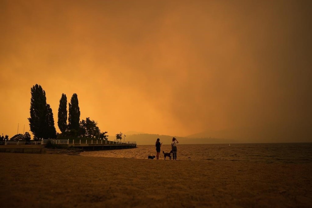
Location: West and east of Adams Lake, north of Shuswap and Little Shuswap lakes, south of Highway 1 between Chase and Sorrento
Size: 431 square kilometres
Suspected cause: Lightning
–
Name: Casper Creek wildfire
Location: 24 kilometres west of Lillooet
Size: 110 square kilometres
Suspected cause: Lightning
–
Name: Kookipi Creek wildfire
Location: 50 kilometres south of Lytton
Size: 170 square kilometres
Suspected cause: Lightning
–
Name: Stein Mountain wildfire
Location: 15 kilometres northwest of Lytton, west of Fraser River
Size: 47 square kilometres
Suspected cause: Lightning
–
Name: McDougall Creek wildfire
Location: Near West Kelowna
Size: 137 square kilometres
Suspected cause: Under investigation
–
Name: Great Beaver Lake wildfire
Location: Prince George fire centre
Size: 92 square kilometres
Suspected cause: Lightning
–
Name: Whitefish Lake wildfire
Location: Prince George fire centre
Size: 57 square kilometres
Suspected cause: Lightning
–
Name: Greer Creek wildfire
Location: Prince George fire centre
Size: 47 square kilometres
Suspected cause: Lightning
–
Name: Crater Creek wildfire
Location: Kamloops fire centre
Size: 465 square kilometres
Suspected cause: Lightning
–
Name: Upper Park Rill wildfire
Location: Kamloops fire centre
Size: 20 square kilometres
Suspected cause: Human, accidental or intentional
–
Name: Rossmore Lake wildfire
Location: Kamloops fire centre
Size: 111 square kilometres
Suspected cause: Lightning
–
Name: Downton Lake wildfire
Location: Kamloops fire centre
Size: 94 square kilometres
Suspected cause: Lightning
–
This report by The Canadian Press was first published Sept. 1, 2023.