Western and Northern Canada braces for chilly, snowy Christmas
Advertisement
Read this article for free:
or
Already have an account? Log in here »
We need your support!
Local journalism needs your support!
As we navigate through unprecedented times, our journalists are working harder than ever to bring you the latest local updates to keep you safe and informed.
Now, more than ever, we need your support.
Starting at $15.99 plus taxes every four weeks you can access your Brandon Sun online and full access to all content as it appears on our website.
Subscribe Nowor call circulation directly at (204) 727-0527.
Your pledge helps to ensure we provide the news that matters most to your community!
To continue reading, please subscribe:
Add Brandon Sun access to your Free Press subscription for only an additional
$1 for the first 4 weeks*
*Your next subscription payment will increase by $1.00 and you will be charged $20.00 plus GST for four weeks. After four weeks, your payment will increase to $24.00 plus GST every four weeks.
Read unlimited articles for free today:
or
Already have an account? Log in here »
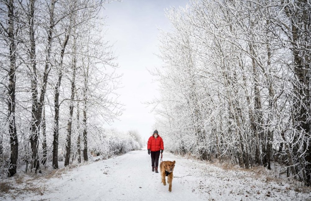
Frigid temperatures across much of Western Canada include advisories warning parts of Alberta to prepare for a snowy Christmas Eve and Christmas Day
As much as 10 to 20 cm is expected to fall by Christmas morning in Central Alberta, and Environment Canada is asking drivers to consider adjusting travel plans to take into account road conditions.
The snow advisories join cold warnings in effect for parts of Manitoba, as well as Alberta and Saskatchewan — where predictions are for wind chills in some spots between -45 and -50 C.
Parts of B.C.’s northern interior could also see wind chill values as low as — 45 until mid-way through Christmas Day.
Extreme cold that has blanketed much of the Yukon for several days is expected to continue through Christmas Eve, with wind chills in some spots hitting -45 to -55 C.
Derek Lee, a meteorologist with Environment Canada, said Tuesday that Arctic air has been building over the territory for the last week and a half.
“But that’s soon to change. We are looking to see some systems roll through Yukon in the next coming days and with that we’ll bring some moisture and cloud cover which will in turn help keep the temperatures a little bit higher than what we’re seeing now.”
Lee said cloud cover is in the forecast to sweep over the territory from north to south to help keep in some warmer air, but the cold in general isn’t going anywhere.
“We’ll likely still continue in the trend of being maybe below normal for this time of year, even into the weekend. But I would say that the temperatures when we get into the weekend will be at least maybe 10 to 20 degrees warmer than what we’re seeing today,” he said.
“Basically getting out of the negative 50s and maybe into the negative 35 to negative 40 range by the time we get in to the weekend.”
This report by The Canadian Press was first published Dec. 24, 2025