Balmy in B.C. and Alberta as jet stream’s dip south brings deep freeze to Ontario
Advertisement
Read this article for free:
or
Already have an account? Log in here »
We need your support!
Local journalism needs your support!
As we navigate through unprecedented times, our journalists are working harder than ever to bring you the latest local updates to keep you safe and informed.
Now, more than ever, we need your support.
Starting at $15.99 plus taxes every four weeks you can access your Brandon Sun online and full access to all content as it appears on our website.
Subscribe Nowor call circulation directly at (204) 727-0527.
Your pledge helps to ensure we provide the news that matters most to your community!
To continue reading, please subscribe:
Add Brandon Sun access to your Free Press subscription for only an additional
$1 for the first 4 weeks*
*Your next subscription payment will increase by $1.00 and you will be charged $20.00 plus GST for four weeks. After four weeks, your payment will increase to $24.00 plus GST every four weeks.
Read unlimited articles for free today:
or
Already have an account? Log in here »
Meteorologists say the position of the jet stream is to blame for bone-chilling cold in southern Ontario, while daily high temperature records fall in Western Canada.
Environment Canada figures show a ridge of high pressure sent 11 daily records tumbling in Alberta on Friday, with the Lethbridge area hitting a balmy 19.5 C, breaking the previous record of 17.2 C set in 1987.
That contrasts sharply with conditions in southern Ontario, where the weather office has issued a cold warning with wind chills as low as -35.
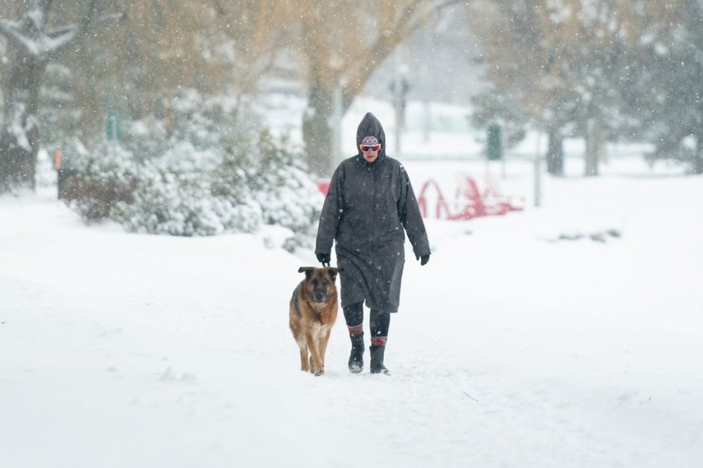
Another advisory says parts of the region will also see blowing snow, with wind gusts of 40 to 60 km/h through Saturday.
The jet stream follows a wave pattern, and meteorologist Isabel Richardson says its dip south has pulled “brutally cold air from the Arctic” along with it.
She says the deep freeze is expected to last until sometime Monday, with more seasonal temperatures in the forecast for Tuesday and the rest of next week.
The Toronto area could see highs of -2 C and lows of -10 C next week, Richardson said.
Compared to the cold gripping the region, she said, “that’s shorts weather isn’t it?”
In B.C., another four daily high temperature records fell Friday, including in Port Hardy, near the northern tip of Vancouver Island, hitting 13.5.
Meteorologist Morgen Shull, based in Vancouver, said the forecast in B.C. points to a return of more seasonal temperatures in about a week.
That could mean relief for people in southern Ontario, she explained, as the wave pattern of the jet stream means it’s common to see warmer temperatures in one part of Canada while it’s colder in another.
That’s what happened in December, when parts of the Yukon hit -45 C while it was well above freezing in Toronto, she added.
“It doesn’t look like it’s going to be crazy balmy at the moment, maybe later, further in the month, but it does look like southern Ontario, anyhow, could be flirting with the rain-snow line,” Shull said of the forecast for mid-February.
Still, she noted the longer-range forecast could change.
This report by The Canadian Press was first published Feb. 7, 2026.